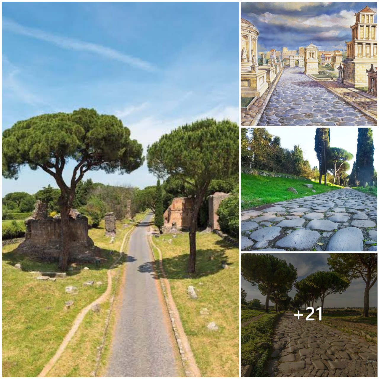
We mapped a lost branch of the Nile River – which may be the key to a longstanding mystery of the pyramids…
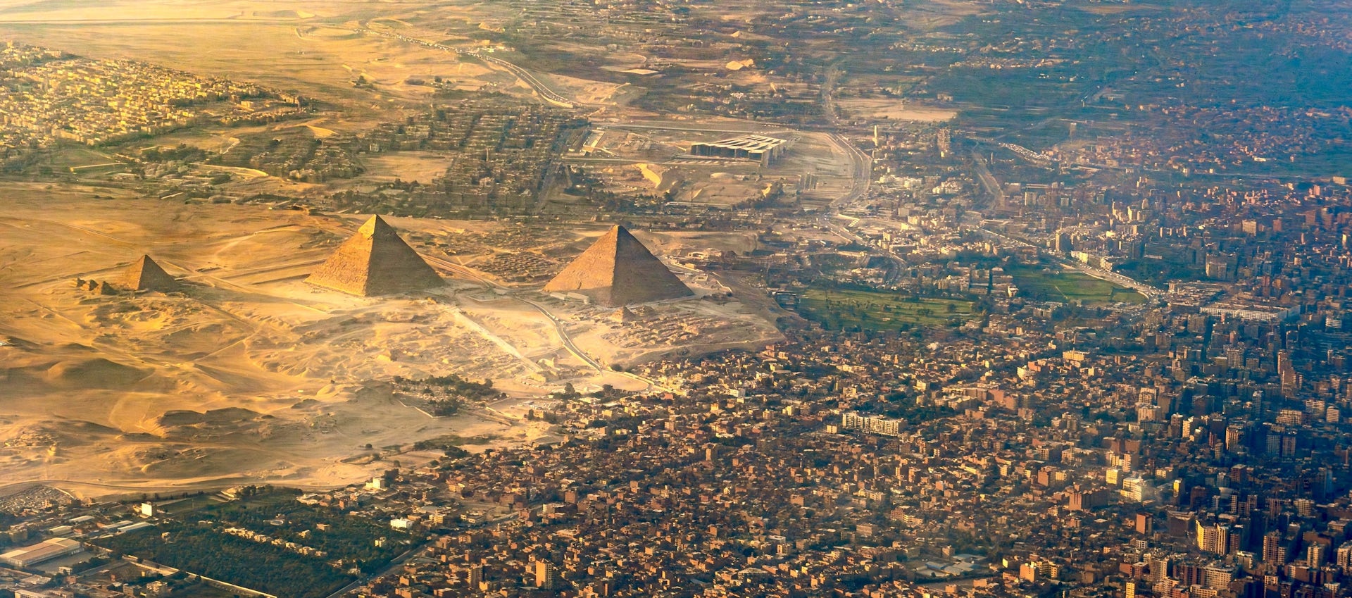
The largest field of pyramids in Egypt – consisting of 31 pyramids built over a millennium, including the famous Great Pyramid at Giza – lies along a narrow strip of land in the desert several kilometres west of the Nile River. The Nile was at the heart of ancient Egyptian civilisation, and the location of so many pyramids some distance away from the river has until now not been fully explained.
In a new study published in Communications Earth & Environment (May 2024), researchers addressed this puzzle. When pyramids were built they sat next to a now-vanished branch of the Nile, which likely provided transport for workers and their materials.
Like other rivers, Nile adjusts and changes over time in response to climate change, floods and droughts. People and places also move with the river. In the past, civilisations fell and rose on its ebb and flow. The Nile has not always looked or functioned the way it does now. By reading the landscape in Egypt, traces of the former river and its branches can be found hidden just beneath the land surface.
Now the obscured by areas of cultivation and urban settlements, buried by centuries of mud from modern river, old channels and their stories have largely been lost to time. Once a mosaic of waterways and wetlands, Nile is ready to share its secrets again. Many scholars have discussed and sought answers to mysteries of Nile. Previous research has documented evidence for the existence of parts of ancient waterways or wetlands, particularly near Giza pyramids.
Upstream near Luxor, Nile migration patterns have been investigated, and downstream abandoned channels have been discovered in Nile Delta. Yet until now we did not have comprehensive map and understanding of waterways that fed extensive pyramid chain from Lisht to Giza in the past. Using satellite imagery, high-resolution digital elevation data and historical maps, we identified and traced the long path of a previously unknown channel of the Nile. What we have called the Ahramat Branch once flowed along the Western Desert margin of the Nile floodplain, close to the ancient pyramids.
Many of the pyramids, built during Old Kingdom (2700–2200 BC) and Middle Kingdom (2050–1650 BC), have causeways that lead to the branch. Many of these paths terminate in temples that may have acted as river docks in the past. This suggests the Ahramat Branch was active during multiple phases of pyramid construction and was probably used as a transportation waterway for workmen and building materials to the sites.
Some pyramids have longer or differently angled causeways than others, indicating the builders adapted their construction approaches to the changing riverscape and local conditions at the desert margin. Other pyramids were connected to inlets associated with tributaries of the Ahramat Branch on the edge of the Western Desert. In all, analysis of the ground elevation of 31 pyramids and their proximity to the floodplain helped explain position and relative water level of Ahramat Branch during time between Old Kingdom and Second Intermediate Period (roughly 2649–1540 BC).
Once researchers mapped Ahramat Branch, we surveyed landscape and its shape, and took deep core samples of soil and sediment to study structure and sedimentology of former river. We also worked with archaeologists, scientists and members of local communities to gather more context for research work.
The path of defunct waterway lies between 2.5 and 10.25km west of the modern Nile river.
📷 : The water course of the ancient Ahramat Branch borders a large number of pyramids dating from Old Kingdom to Second Intermediate Period, spanning between 3rd-13th Dynasty. Eman Ghoneim et al.
© The Conservation/Jo Adetunji
#archaeohistories